Overview
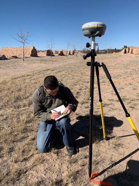
Whether defining the shape of a nation or determining the path of a new highway, our world is defined through surveying. Surveying Engineers analyze, design, and execute surveying and mapping projects which help to define the world in which we live. Students in this program take courses in Photogrammetry, boundary surveying, construction surveying, and geodesy to name a few. In addition to knowledge of the mathematical and computational methods involved in surveying measurement and analysis, surveyors must also have an understanding of the legal principles of boundary location, the laws related to boundaries and land use.
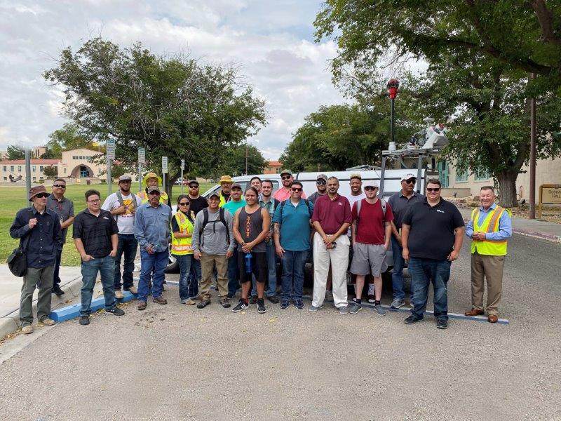
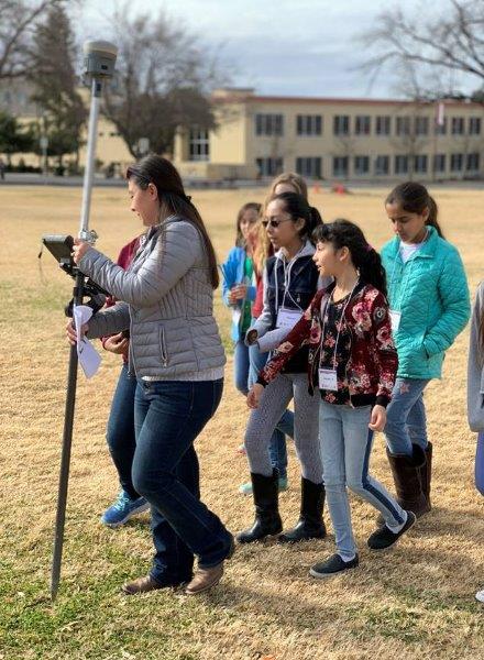
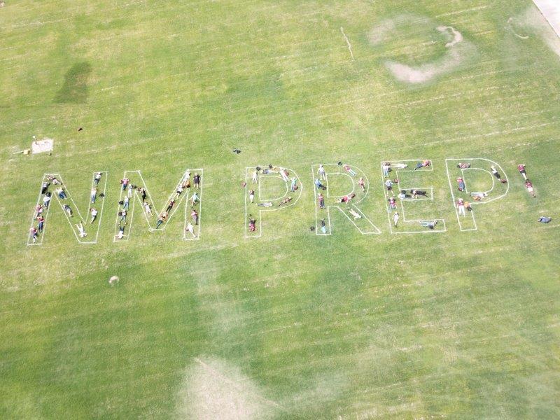
Our students may be involved in the American Congress on Surveying and Mapping/New Mexico Professional Surveyors student chapter and participate in exciting competitions each year.
Surveying Engineering involves the application of knowledge to the analysis, design, and execution of surveying and mapping projects and the design of land mapping and information systems. Surveyors rely on an understanding of the science of surveying measurement and analysis, the legal principles of boundary location, the laws related to boundaries and land use, and applicable mathematical and computational theories and principles when performing this work.
Positional accuracy, land planning and development concepts pertinent to subdivision of land and property surveys, land record and land tenure concepts, as well as earth-related sciences such as geodesy are each a part of professional surveying. Surveying engineers work for private surveying or engineering firms, for City, County, State or Federal Highway Departments, for State Lands Commissions, for the US Forest Service and for the US Bureau of Land Management.
Career Paths

Agricultural

City, County, State

Construction

Consulting

Government

Surveying
Geomatics or Surveying Engineering Degree from NMSU has 100% placement rate for our graduates seeking employment within 6-months of graduations with average NM salaries over $65K – SOURCE: Based on May 2015 State Occupational Employment and Wage Estimates for the state of NM published by the Bureau of Labor Statistics.
- Cartographers
- Crew Chief
- Geospatial Data Analyst
- Land Surveyor
- LiDAR Analyst
- Photogrammetrists
- Surveyor